Bathymetry for next release playground : Candiate 1. Axial Seamount #202
Conversation
Tiled version
|
|
@woensug-choi I was just going to write up a page for using a different/ higher resolution file instead of the sandy bottom heightmap in dave_demo.launch. Since we don't use the tiling and plugin with the current sandy bottom model that conversion is pretty straightforward. |
|
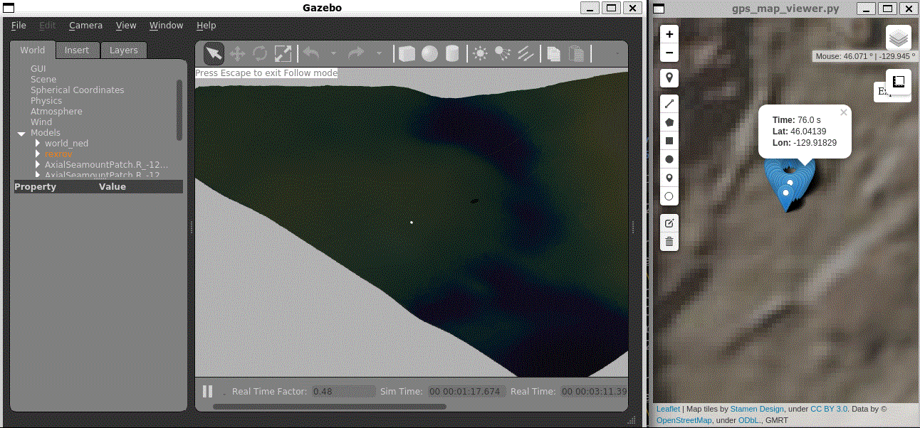
@j-herman Thank you for testing it out! Could you test the other candidate #203 too? I wonder how we are going to distribute high-resolution bathymetry data. I've put some effort to reduce it to around 20MB for this and another candidate. Github allows a maximum 40 MB file unless we adopt For more higher-level discussion, as @bsb808 mentioned in the mail, I understood as this playground wrap-up would not be included in the next release nor the end of march timeline. But worth introducing to them how things will be integrated into this playground (with doneness metric). Meanwhile, your new page preparation will be included in the next release or end of march timeline since it is a definitive demonstration for proof of collaborative possibility with Makai. Am I correct? |
One thing we could do is create a script that 1) downloads the dataset 2) runs the Batymetry_Converter on the dataset and 3) installs the output to a share directory at build time. Once we have such a script, we would just need to modify the |
I thought we were trying to get everything put together by the end of March, including the integrated demo, but maybe I misunderstood. It's a lot to get done by then! |
|
Merging it now. Will make a wiki page for both Axial Seamount and Santorini today. |
Axial Seamount
Launch command
New files in this PR
dave_Axial_Seamount.worlddave_Axial_Seamount_demo.launchdave/models/dave_object_models/models/AxialSeamountPatchStatistics
Clague, D.; Caress, D. and J. Paduan, (2022). Preliminary 1-meter resolution
bathymetric model (ESRI ASCII grids) for the summit region of Axial
Seamount, version as of 10 March 2021. IEDA. doi:10.26022/IEDA/330219
Conversion method
mkbaty.pyautomation script at https://github.com/Field-Robotics-Lab/Bathymetry_ConverterONE_TILE_AT_ORIGIN: TrueSIMPLIFICATION_LEVEL: 3 ( if set 0; without any simplification, the mesh OBJ would be 350MB~)PREFIX= AxialSeamountPatchRanges
STARTLON= -129.930STARTLAT= 46.035ENDLON= -129.914ENDLAT= 46.050Color texture (
color.txt)@j-herman Are you going to make a wiki? a page for the conversion tutorial? (as I remember from your reply to Brian's mail). I had to introduce bunch of mesh simplification methods in the
mkbathy.pyscript. You may give it a look :)